
John Deere, a US agricultural machinery manufacturing giant, recently announced the acquisition of US technology company Sentera to further consolidate its leading position in precision agriculture. Sentera is an innovative company focusing on agricultural remote sensing technology, committed to realizing long-distance agricultural data collection and analysis through advanced sensors and satellite technology.
The software, sensors and artificial intelligence technology developed by Sentera can help farmers monitor crop growth in real time and efficiently identify disease problems. The camera system it launched is compatible with mainstream drone platforms and has wide applicability.
Reduce input waste and improve environmental benefits
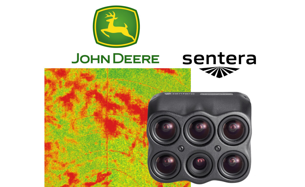
Drones equipped with advanced imaging equipment can fly over farmland at high speed to collect high-resolution images. With the help of Sentera's core software platform FieldAgent, these images are automatically converted into detailed crop maps and accurately mark the location of weeds. Farmers can use this to achieve fixed-point application, effectively reduce pesticide use, improve resource utilization, and reduce environmental impact.
Achieving a closed data loop from "air" to "ground"
After image processing, crop maps will be automatically transmitted to compatible agricultural machinery through John Deere's "Operations Center" and can be used immediately for field operations, achieving a seamless connection from remote sensing to precision operations.
Chris Winkler, John Deere Software Director, said that the combination of technologies will enable us to make faster and more informed agronomic decisions. Drones equipped with Sentera sensors can map large areas at high speed. The processed information can be integrated with other systems and shared over the Internet.
Sentera will continue to work with drone manufacturers, agronomists and distributors. The Operations Center will continue to be open to image integration with other suppliers.